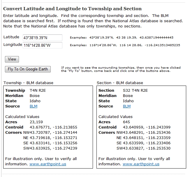
Click for larger image.
If you have more ideas for making Earth Point a better web site, please add a comment.
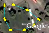 ExcelToKml can draw direction arrows on a GPS track. The column headings to look at are "IconHeading" and "IconColor".
| A | B | C | D | E | F | |
| 1 | Latitude | Longitude | Icon | IconHeading | IconColor | LineColor |
| 2 | 43.6097 | -116.2048 | 196 | line -180 | yellow | aqua |
| 3 | 43.6095 | -116.2047 | 196 | line -180 | yellow | aqua |
| 4 | 43.6094 | -116.2046 | 196 | line -180 | yellow | aqua |
| 5 | 43.6094 | -116.2044 | 196 | line -180 | yellow | aqua |
| 6 | 43.6094 | -116.2042 | 196 | line -180 | yellow | aqua |
| 7 | 43.6095 | -116.2041 | 196 | line -180 | yellow | aqua |
| 8 | 43.6096 | -116.2043 | 196 | line -180 | yellow | aqua |
| 9 | 43.6097 | -116.2046 | 196 | line -180 | yellow | aqua |
 For example, Icon 222 is Google's airplane icon. It looks like this on Google Earth.
 If a value of 90 is entered into the IconHeading column, the icon is rotated 90 degrees to the right.
 If a value of -90 is entered into the IconHeading column, the icon is rotated 90 degrees to the left.
 "line-180" is quite useful when using Icon 196, Google's arrow icon. Notice that by default the arrow points down, not up. If we specified a value of "line" in the IconHeading column, the arrow would point in the wrong direction.
 To fix this, use a value of "line-180" (or "line+180"), which flips the arrow around 180 degrees and points it in the right direction.
 Another problem is that the arrow is hard to see because it is just an outline. Use IconColor to add color to any icon. Yellow looks like this:
With over 20-million records in its database and a fast presentation speed, Earth Point ably manages large ESRI shape files, robust databases, the web environment, and Google Earth. Earth Point can map fixed and mobile assets, turning Google Earth into an information manager for almost any system. Please call if Earth Point can assist with any of your IT or data processing needs.
Phone 208.860.6311 or email bill.clark@earthpoint.us.
Earth Point real estate software is protected by copyright. Local implementations are licensed to the client.
Note: I have spot-checked the data, but I have not checked all 17 million records! If you find an inconsistency, please let me know.
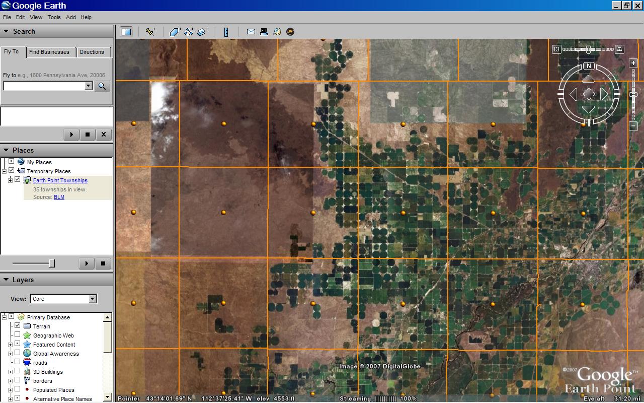
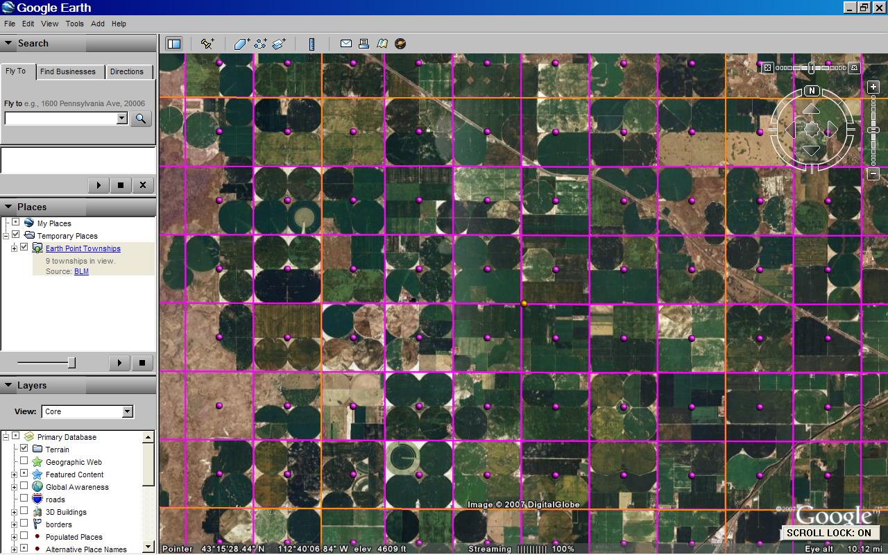
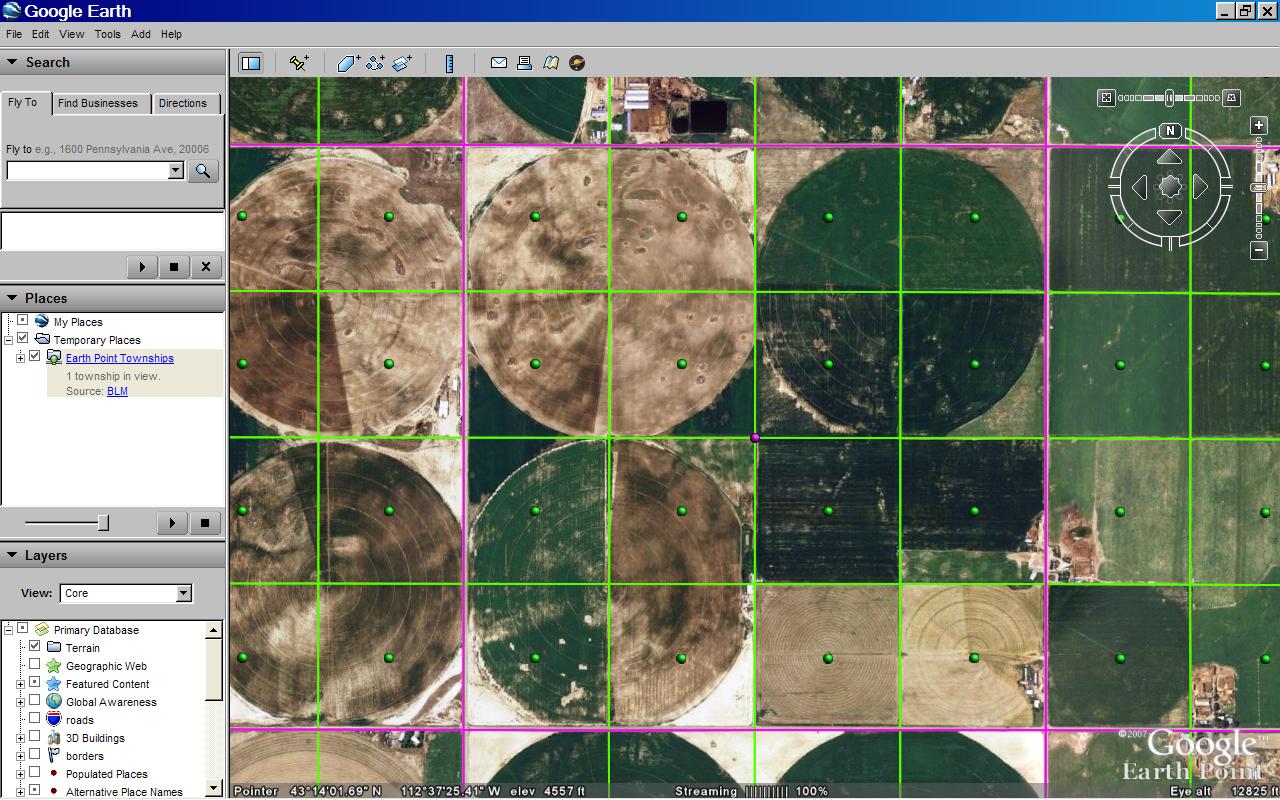
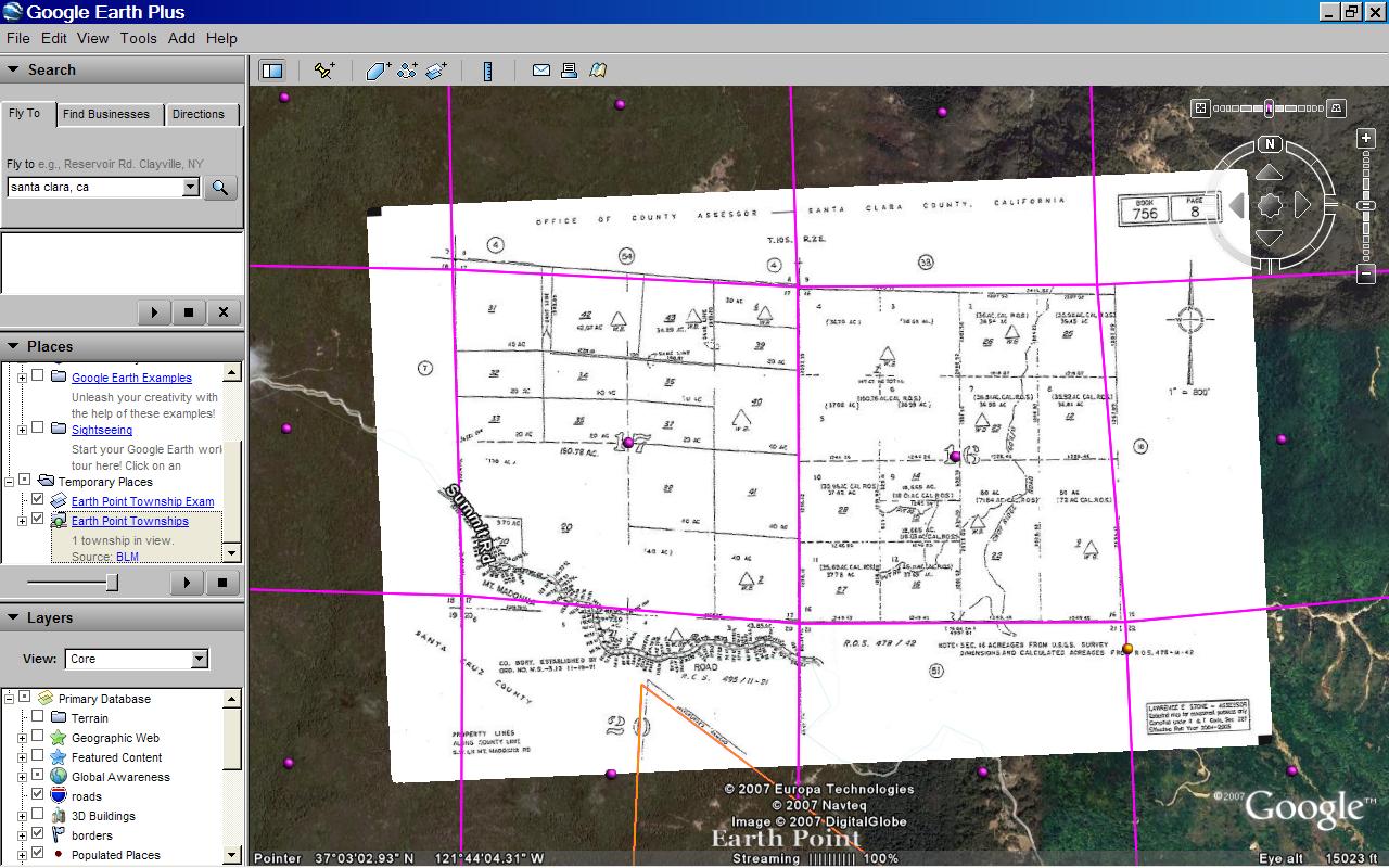
View the Township and Range Data on Google Earth.
Otherwise, start at the beginning...
We need to know which state and which prime meridian the map is part of.