Our hosting company,
Mosso, has moved Earth Point to new servers. Unfortunately, in the process of learning this was necessary we were off-line for much of Wednesday and Thursday. This was triggered by three events.
First, we are slowly adding AJAX technology to Earth Point. After a few problems, our hosting company determined that we needed to be on a server that had the latest ASP.NET 3.5 Service Pack 1 installed.
Second, Earth Point had a bug that caused the “application pool” to fill up. Once filled, no one could use the site. We made a few changes, and the pool is functioning normally.
Finally, another team at our hosting company determined that the Township and Range data (22 million records) needed to be on a newer server. The Quarters table was unavailable for a few hours, but everything is back online.
By the way, we have been with Mosso for over a year and I am quite happy with them.
 By default, Sections are shown in purple, Quarter/Quarters are green. Click on the "Earth Point Townships" folder to set the options. Click for larger image.
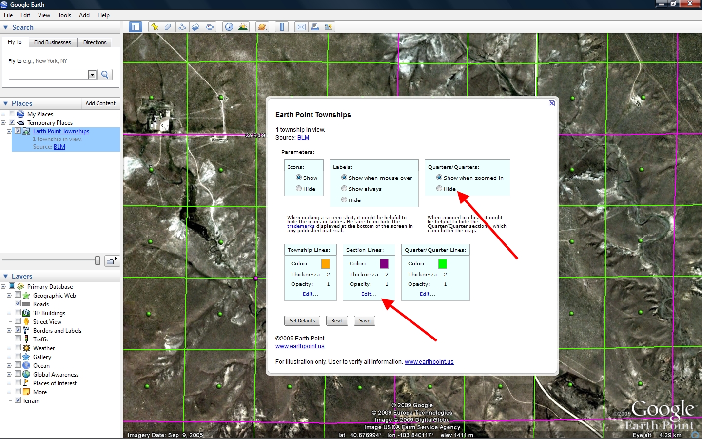 In this example, we will hide the quarter/quarters and change the section color to from purple to red. Click for larger image.
 Red is selected. Click for larger image.
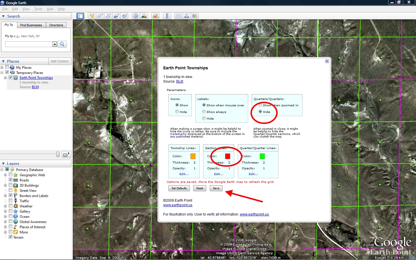 Quarter/Quarters is set to "Hidden". Section color is set to "Red". Click for larger image.
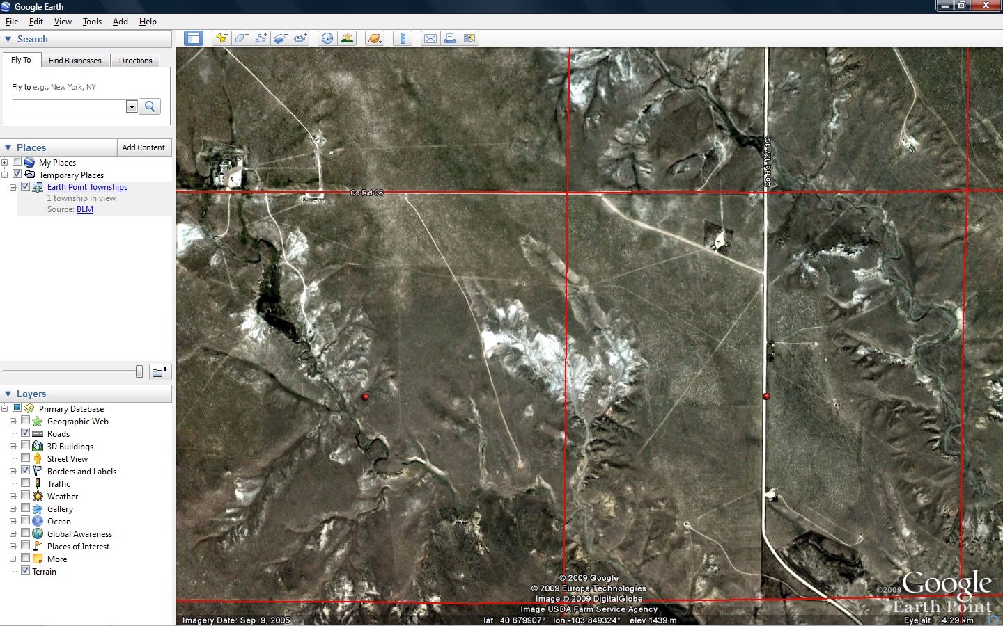 The end result. Click for larger image.
 Existing quarter/quarters are shown in green. New quarter/quarters are light green. There are often gaps within the green areas. There is no quarter-quarter coverage in Alaska. Click for larger image.
 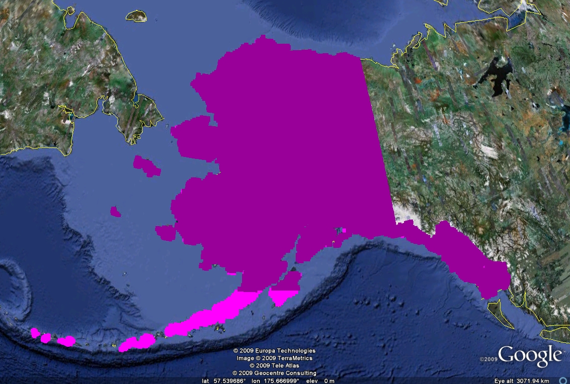 Existing sections are shown in dark purple. New sections are light purple. Click for larger image.
 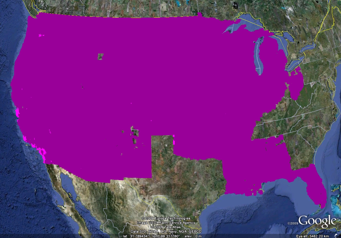 Existing sections are shown in dark purple. New sections are light purple. Click for larger image.